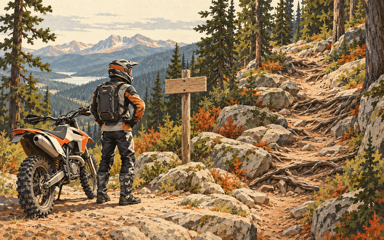
Treat a difficulty rating as one part of a route decision. Before committing, ask three questions: is this trail designated for your motorcycle, what does its difficulty label mean here, and what has changed since the map was made? Keeping those questions separate helps make a trailhead discussion specific.
Read the actual legend. Oregon’s 2019 Tillamook OHV map, for example, distinguishes vehicle-use categories and one-way trails separately from difficulty ratings. Its scale runs from Easiest through Moderate, Difficult, Extreme and Severe. Use the latest manager-provided information rather than an old screenshot. [1]
Ratings also need local context. The Forest Service’s Gooseberry guide explains that its ratings assume ideal conditions and compare trails within that system. It warns that an easiest-rated trail there could receive a harder rating elsewhere. Avoid treating a familiar color or label as a portable guarantee of comfort. [2]
Conditions change the task
Seasonal conditions can change the task. The Oregon Department of Forestry explicitly cautions that Tillamook trail conditions and difficulty may differ from the map. Its guide also notes that management work, projects, fire danger and trail protection can lead to closures. Check current notices even when the printed route looks familiar. [3]
Keep assessing what you can see. Oregon Parks and Recreation advises scanning ahead and riding slowly enough to stop safely if a hazard appears. A rating cannot tell you how much of the next bend is visible from your seat or whether today’s conditions suit your skills. [4]
Our practical route check is to identify the hardest necessary section and the last reasonable decision point before it. Ask the land manager about uncertain sections, and choose an easier route if needed. Check any proposed alternative with the same care as the original route.
Sources & riding information
- Oregon Department of Forestry: Tillamook OHV map legend, 2019 edition.
- Fishlake National Forest: Gooseberry ATV Trails guide, difficulty ratings (June 2019).
- Oregon Department of Forestry: Tillamook OHV guide, changing conditions and trail protection.
- Oregon Parks and Recreation: trip planning and safe riding practices.
Sources checked Oct 22, 2026 (UTC). Access and conditions can change; check current land-manager guidance. Written advice does not replace hands-on instruction.